Esquimalt’s Active Transportation Network Plan: Phase II

Have your say in developing Esquimalt's first Active Transportation Network Plan!
Thanks for taking part in our Phase I engagement. Here are some highlights for Phase II:
- Check out the What We Heard Report in the document library to see how your feedback was summarized.
- Read the summer 2021 Plan Summary Report
- Read the final Active Transportation Network Report
- Let us know if you have specific questions about the project here.
What is the Active Transportation Network Plan?
The Township of Esquimalt adopted its Official Community Plan (OCP) in 2018. The OCP includes specific objectives to help improve conditions for people walking and cycling. Building on these objectives, the Township is the process of developing its first Active Transportation Network Plan (ATNP). The purpose of the plan is to:
- identify gaps in the pedestrian and cycling network;
- improve the quality and experience for people walking, biking and rolling;
- provide a roadmap for high priority improvements over the short-term (5 years), medium-term (10 years), and long-term (10+years); and
- increase the share of trips completed by active transportation and to more broadly reach the climate targets set out in the Official Community Plan.
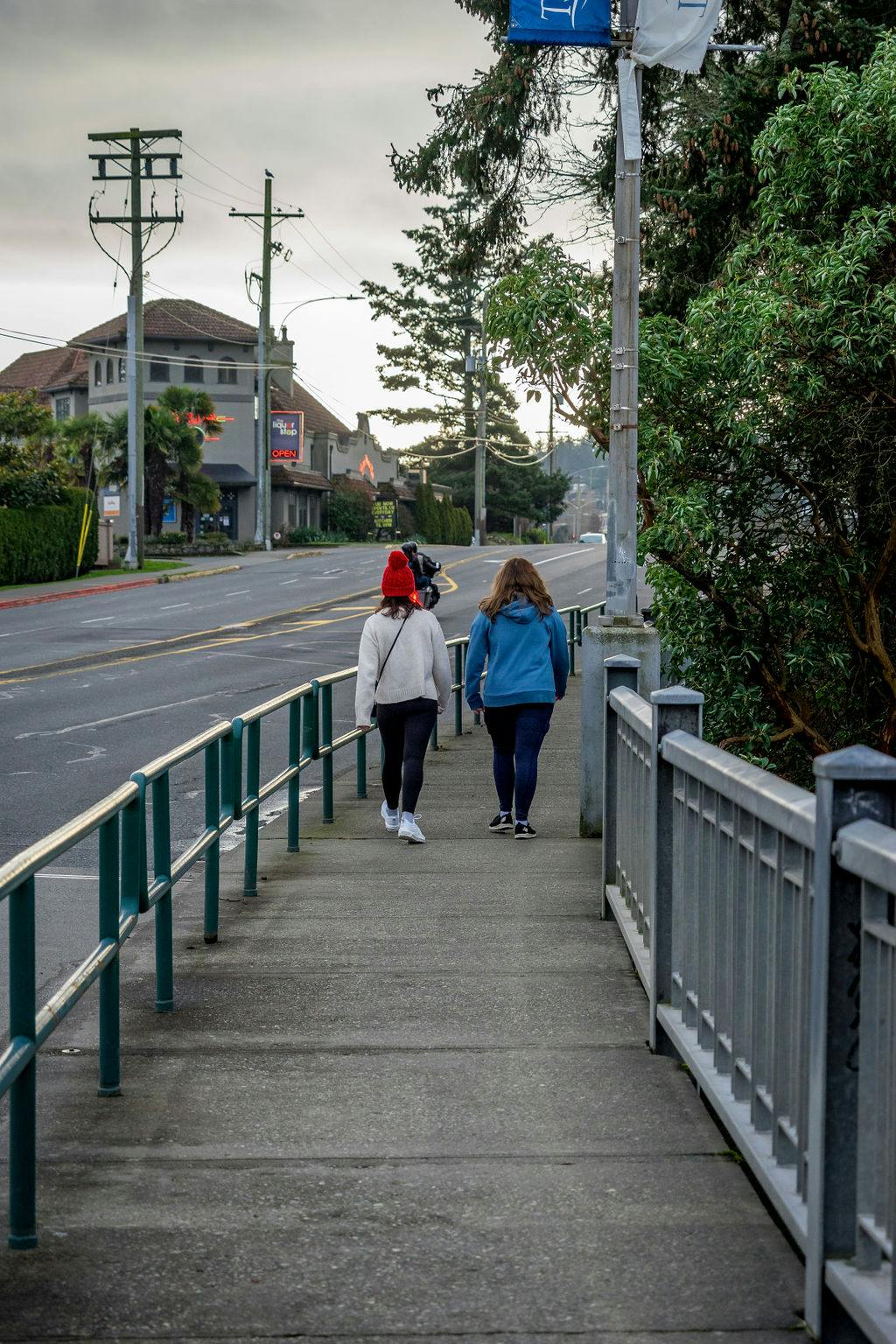
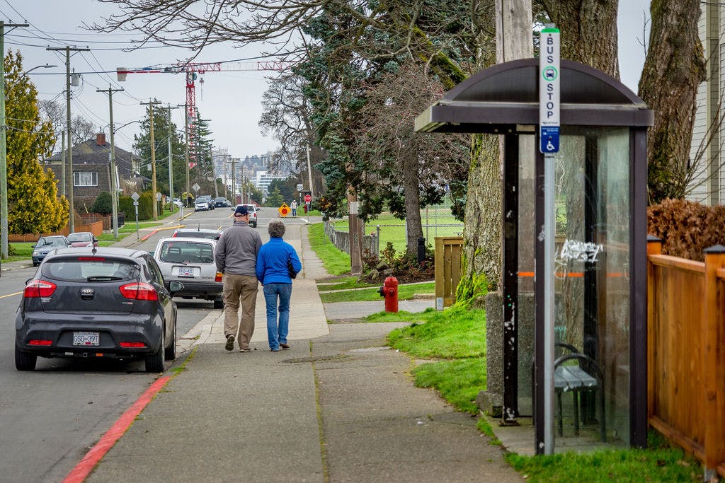
What is Active Transportation?
Active transportation, as defined in the BC Active Transportation Design Guide, includes any form of human-powered transportation, including walking, cycling, or rolling using a skateboard, in-line skates, wheelchair or other wheel-based forms of human-powered transportation.
Have your say in developing Esquimalt's first Active Transportation Network Plan!
Thanks for taking part in our Phase I engagement. Here are some highlights for Phase II:
- Check out the What We Heard Report in the document library to see how your feedback was summarized.
- Read the summer 2021 Plan Summary Report
- Read the final Active Transportation Network Report
- Let us know if you have specific questions about the project here.
What is the Active Transportation Network Plan?
The Township of Esquimalt adopted its Official Community Plan (OCP) in 2018. The OCP includes specific objectives to help improve conditions for people walking and cycling. Building on these objectives, the Township is the process of developing its first Active Transportation Network Plan (ATNP). The purpose of the plan is to:
- identify gaps in the pedestrian and cycling network;
- improve the quality and experience for people walking, biking and rolling;
- provide a roadmap for high priority improvements over the short-term (5 years), medium-term (10 years), and long-term (10+years); and
- increase the share of trips completed by active transportation and to more broadly reach the climate targets set out in the Official Community Plan.
What is Active Transportation?
Active transportation, as defined in the BC Active Transportation Design Guide, includes any form of human-powered transportation, including walking, cycling, or rolling using a skateboard, in-line skates, wheelchair or other wheel-based forms of human-powered transportation.
Ask a question about the project
Do you have a question about the Esquimalt Active Transportation Network Plan? Our team is listening.
-
Share Are there plans for high speed railway transport systems on the island? on Facebook Share Are there plans for high speed railway transport systems on the island? on X (formerly Twitter) Share Are there plans for high speed railway transport systems on the island? on Linkedin Email Are there plans for high speed railway transport systems on the island? link
Are there plans for high speed railway transport systems on the island?
Chris Shewchuk asked over 5 years agoGreat question. Currently there are no formal plans for high-speed railway on the island. If this is something you’re interested in, we recommend you use the Share an Idea tool so you can share this idea with the rest of the community.
-
Share Will the ATP include the economic benefits of better pedestrian and cycling infrastructure (local and tourist spending at businesses). There are numerous studies that study this effect and it is relevant to Esquimalt's relatively dense population and proximity to downtown Victoria and cruise ship terminal. on Facebook Share Will the ATP include the economic benefits of better pedestrian and cycling infrastructure (local and tourist spending at businesses). There are numerous studies that study this effect and it is relevant to Esquimalt's relatively dense population and proximity to downtown Victoria and cruise ship terminal. on X (formerly Twitter) Share Will the ATP include the economic benefits of better pedestrian and cycling infrastructure (local and tourist spending at businesses). There are numerous studies that study this effect and it is relevant to Esquimalt's relatively dense population and proximity to downtown Victoria and cruise ship terminal. on Linkedin Email Will the ATP include the economic benefits of better pedestrian and cycling infrastructure (local and tourist spending at businesses). There are numerous studies that study this effect and it is relevant to Esquimalt's relatively dense population and proximity to downtown Victoria and cruise ship terminal. link
Will the ATP include the economic benefits of better pedestrian and cycling infrastructure (local and tourist spending at businesses). There are numerous studies that study this effect and it is relevant to Esquimalt's relatively dense population and proximity to downtown Victoria and cruise ship terminal.
Hopeful4_ATPLeadership asked over 5 years agoYes, the Active Transportation Network Plan will consider economic benefits as this aligns with Esquimalt’s strategic priority to “support multi-modal transportation strategies that reflect the cumulative impact of business and residential development”.
-
Share Does the ATP development process include site visits or walking/biking/bus tours by Council? This is a great way for Council to get first-hand experience of the challenges and opportunities. on Facebook Share Does the ATP development process include site visits or walking/biking/bus tours by Council? This is a great way for Council to get first-hand experience of the challenges and opportunities. on X (formerly Twitter) Share Does the ATP development process include site visits or walking/biking/bus tours by Council? This is a great way for Council to get first-hand experience of the challenges and opportunities. on Linkedin Email Does the ATP development process include site visits or walking/biking/bus tours by Council? This is a great way for Council to get first-hand experience of the challenges and opportunities. link
Does the ATP development process include site visits or walking/biking/bus tours by Council? This is a great way for Council to get first-hand experience of the challenges and opportunities.
Hopeful4_ATPLeadership asked over 5 years agoGood idea. The development of the Active Transportation Network Plan does not currently include site visits by council, but all the feedback will be analyzed and presented to council for their review and approval.
-
Share Will the ATP suggest additional budget and support for staff so they have the resources they need to implement the ATP? Are there comparables from other muncipalities that have implemented ATPs (e.g., staff uplift for 5-years to support design. construction, etc.)? on Facebook Share Will the ATP suggest additional budget and support for staff so they have the resources they need to implement the ATP? Are there comparables from other muncipalities that have implemented ATPs (e.g., staff uplift for 5-years to support design. construction, etc.)? on X (formerly Twitter) Share Will the ATP suggest additional budget and support for staff so they have the resources they need to implement the ATP? Are there comparables from other muncipalities that have implemented ATPs (e.g., staff uplift for 5-years to support design. construction, etc.)? on Linkedin Email Will the ATP suggest additional budget and support for staff so they have the resources they need to implement the ATP? Are there comparables from other muncipalities that have implemented ATPs (e.g., staff uplift for 5-years to support design. construction, etc.)? link
Will the ATP suggest additional budget and support for staff so they have the resources they need to implement the ATP? Are there comparables from other muncipalities that have implemented ATPs (e.g., staff uplift for 5-years to support design. construction, etc.)?
Hopeful4_ATPLeadership asked over 5 years agoAdditional budget and resources will be requested based on the results of the Active Transportation Network Plan. Where staff resources are limited, consultant services will be considered. As part of the engagement process, staff will be meeting with neighboring municipalities to understand their plans and to learn from their experiences.
-
Share Will the ATP distinguish between the different needs and opportunities of different neighborhoods and topography in Esquimalt. For example, flatter area near Saxe Point with grid may be suitable for traffic calming; there are few corridor options for residents in Gorge area; hills and connection to surrounding trails and paths important for hilly rock heights. That is, not all "neighborhood roads" in Esquimalt are the same given topography and road connections. on Facebook Share Will the ATP distinguish between the different needs and opportunities of different neighborhoods and topography in Esquimalt. For example, flatter area near Saxe Point with grid may be suitable for traffic calming; there are few corridor options for residents in Gorge area; hills and connection to surrounding trails and paths important for hilly rock heights. That is, not all "neighborhood roads" in Esquimalt are the same given topography and road connections. on X (formerly Twitter) Share Will the ATP distinguish between the different needs and opportunities of different neighborhoods and topography in Esquimalt. For example, flatter area near Saxe Point with grid may be suitable for traffic calming; there are few corridor options for residents in Gorge area; hills and connection to surrounding trails and paths important for hilly rock heights. That is, not all "neighborhood roads" in Esquimalt are the same given topography and road connections. on Linkedin Email Will the ATP distinguish between the different needs and opportunities of different neighborhoods and topography in Esquimalt. For example, flatter area near Saxe Point with grid may be suitable for traffic calming; there are few corridor options for residents in Gorge area; hills and connection to surrounding trails and paths important for hilly rock heights. That is, not all "neighborhood roads" in Esquimalt are the same given topography and road connections. link
Will the ATP distinguish between the different needs and opportunities of different neighborhoods and topography in Esquimalt. For example, flatter area near Saxe Point with grid may be suitable for traffic calming; there are few corridor options for residents in Gorge area; hills and connection to surrounding trails and paths important for hilly rock heights. That is, not all "neighborhood roads" in Esquimalt are the same given topography and road connections.
Hopeful4_ATPLeadership asked over 5 years agoYes, Esquimalt will consider different treatments for different locations based on the feedback received through this engagement process and conditions specific to the area. If you have feedback for a specific neighbourhood, please use the Mapping Tool or Share an Idea tool to share this with the community.
-
Share Will the Active Transportation Plan propose policies on how to address trade-offs between improvements that provide broad public benefit vs. private benefits for a few? For example, where there is a trade-off between private vehicle storage/parking and improvements to a pedestrian/cycling corridor? (e.g, South Side of Craigflower Road near Gorge Golf Course) on Facebook Share Will the Active Transportation Plan propose policies on how to address trade-offs between improvements that provide broad public benefit vs. private benefits for a few? For example, where there is a trade-off between private vehicle storage/parking and improvements to a pedestrian/cycling corridor? (e.g, South Side of Craigflower Road near Gorge Golf Course) on X (formerly Twitter) Share Will the Active Transportation Plan propose policies on how to address trade-offs between improvements that provide broad public benefit vs. private benefits for a few? For example, where there is a trade-off between private vehicle storage/parking and improvements to a pedestrian/cycling corridor? (e.g, South Side of Craigflower Road near Gorge Golf Course) on Linkedin Email Will the Active Transportation Plan propose policies on how to address trade-offs between improvements that provide broad public benefit vs. private benefits for a few? For example, where there is a trade-off between private vehicle storage/parking and improvements to a pedestrian/cycling corridor? (e.g, South Side of Craigflower Road near Gorge Golf Course) link
Will the Active Transportation Plan propose policies on how to address trade-offs between improvements that provide broad public benefit vs. private benefits for a few? For example, where there is a trade-off between private vehicle storage/parking and improvements to a pedestrian/cycling corridor? (e.g, South Side of Craigflower Road near Gorge Golf Course)
Hopeful4_ATPLeadership asked over 5 years agoThe Active Transportation Network Plan will be based on the feedback received through this engagement process. If you have specific locations where improvements can be made, we recommend you use the Mapping Tool. Alternatively, if you have more general policy improvements, we recommend you use the Share an Idea tool. All data collected through this engagement process will be analyzed and used as the basis for the plan.
-
Share Would 30km/h or 40km/h on residential roads be safer for pedestrians and cyclists for shared use roads? on Facebook Share Would 30km/h or 40km/h on residential roads be safer for pedestrians and cyclists for shared use roads? on X (formerly Twitter) Share Would 30km/h or 40km/h on residential roads be safer for pedestrians and cyclists for shared use roads? on Linkedin Email Would 30km/h or 40km/h on residential roads be safer for pedestrians and cyclists for shared use roads? link
Would 30km/h or 40km/h on residential roads be safer for pedestrians and cyclists for shared use roads?
Hopeful4_ATPLeadership asked over 5 years agoReducing speeds will be considered as part of the Active Transportation Network Plan. Please note that speed limits are set by the Motor Vehicle Act which is managed by the provincial government. Individual changes to specific blocks can be made by the municipality, but this becomes a costly solution to implement on a large scale throughout a municipality. Esquimalt council recently agreed to participate in an application to the provincial government for a pilot project that reduces speeds on roads without continuous centrelines to 30km/hr. The District of Saanich is leading this application.
-
Share With the new amenity building under construction in Esquimalt Gorge Park, what are the changes to vehicle, pedestrian, cycling and transit to get to this brand new amenity under construction? Are there any forecasts on how people will get to the building and whether improvements to any infrastructure is needed? I note the small improvement to pedestrian access across the West side of Tillicum Bridge but I'm not sure if this is temporary or permanent? on Facebook Share With the new amenity building under construction in Esquimalt Gorge Park, what are the changes to vehicle, pedestrian, cycling and transit to get to this brand new amenity under construction? Are there any forecasts on how people will get to the building and whether improvements to any infrastructure is needed? I note the small improvement to pedestrian access across the West side of Tillicum Bridge but I'm not sure if this is temporary or permanent? on X (formerly Twitter) Share With the new amenity building under construction in Esquimalt Gorge Park, what are the changes to vehicle, pedestrian, cycling and transit to get to this brand new amenity under construction? Are there any forecasts on how people will get to the building and whether improvements to any infrastructure is needed? I note the small improvement to pedestrian access across the West side of Tillicum Bridge but I'm not sure if this is temporary or permanent? on Linkedin Email With the new amenity building under construction in Esquimalt Gorge Park, what are the changes to vehicle, pedestrian, cycling and transit to get to this brand new amenity under construction? Are there any forecasts on how people will get to the building and whether improvements to any infrastructure is needed? I note the small improvement to pedestrian access across the West side of Tillicum Bridge but I'm not sure if this is temporary or permanent? link
With the new amenity building under construction in Esquimalt Gorge Park, what are the changes to vehicle, pedestrian, cycling and transit to get to this brand new amenity under construction? Are there any forecasts on how people will get to the building and whether improvements to any infrastructure is needed? I note the small improvement to pedestrian access across the West side of Tillicum Bridge but I'm not sure if this is temporary or permanent?
Hopeful4_ATPLeadership asked over 5 years agoThe new Gorge Park Pavilion will include improvements to the area surrounding the building, including parking and sidewalks. Access to the park will remain the same, but depending on feedback through this engagement processes, changes may be considered. The lane closure on the west side of Tillicum Bridge was installed with temporary infrastructure. A permanent reduction of lanes along Tillicum Road will require feedback on the current installation, further studies, coordination between municipalities, and council direction. Feedback received in Esquimalt’s Active Transportation Network plan will play a major role in the future of this corridor. If you have any feedback on this corridor, we recommend you use the Mapping Tool or Share an Idea tool to identify opportunities for improvement in the area.
-
Share Is it possible to make the E&N trail that crosses Lampson St a tunnel for pedestrians and cyclists to cross without any disruption to ones destination? It also would not impede vehicle traffic in a high volume area! Not to mention a much safer crossing for all! on Facebook Share Is it possible to make the E&N trail that crosses Lampson St a tunnel for pedestrians and cyclists to cross without any disruption to ones destination? It also would not impede vehicle traffic in a high volume area! Not to mention a much safer crossing for all! on X (formerly Twitter) Share Is it possible to make the E&N trail that crosses Lampson St a tunnel for pedestrians and cyclists to cross without any disruption to ones destination? It also would not impede vehicle traffic in a high volume area! Not to mention a much safer crossing for all! on Linkedin Email Is it possible to make the E&N trail that crosses Lampson St a tunnel for pedestrians and cyclists to cross without any disruption to ones destination? It also would not impede vehicle traffic in a high volume area! Not to mention a much safer crossing for all! link
Is it possible to make the E&N trail that crosses Lampson St a tunnel for pedestrians and cyclists to cross without any disruption to ones destination? It also would not impede vehicle traffic in a high volume area! Not to mention a much safer crossing for all!
Lamps asked over 5 years agoGreat question. The E&N is officially classified as an active railway corridor. The E&N Rail Trail is within the rail authority’s right of way and must comply with Transport Canada’s Canadian Railway-Roadway Grade Crossings Standards. The CRD installed and manages the E&N Rail Trail through permission from the rail authority. The township does not have authority to install a tunnel at this location, nor would it be economically feasible at this time. If you have concerns with the time it takes to cross Lampson Street, we recommend using the mapping or Share an Idea tools to document this. One solution that could be considered is changing the signal timing to prioritize active transportation modes of travel.
-
Share I see that you have a pedestrian map and a bike map, with the 30km/40km project will their be a vehicle traffic map as well please. on Facebook Share I see that you have a pedestrian map and a bike map, with the 30km/40km project will their be a vehicle traffic map as well please. on X (formerly Twitter) Share I see that you have a pedestrian map and a bike map, with the 30km/40km project will their be a vehicle traffic map as well please. on Linkedin Email I see that you have a pedestrian map and a bike map, with the 30km/40km project will their be a vehicle traffic map as well please. link
I see that you have a pedestrian map and a bike map, with the 30km/40km project will their be a vehicle traffic map as well please.
Bruce asked over 5 years agoThank you for your feedback. For areas where you have concerns about vehicle speeds, please use the Walking+Rolling or Cycling maps. Alternatively, if you have an idea that you would like to share with the rest of the community, we recommend you use the Share an Idea tool on the home page. All data provided regardless of the engagement tool will be analyzed and used as input for the next phase of the project.
Follow Project
Project Timeline
-
Phase 1 - Baseline Conditions Assessment (January to March)
Esquimalt’s Active Transportation Network Plan: Phase II has finished this stage -
Phase 2 - Community Consultation (April)
Esquimalt’s Active Transportation Network Plan: Phase II has finished this stage -
Phase 3 - Draft Plan & Second Round of Consultation (summer 2021)
Esquimalt’s Active Transportation Network Plan: Phase II has finished this stageRead the What We Heard Report and look forward to further consultation this summer.
-
Phase 4 - Finalize Plan (fall 2021)
Esquimalt’s Active Transportation Network Plan: Phase II is currently at this stageThe ATNP was endorsed by council on February 7, 2022. Read the final report.
Document Library
-
 Plan Summary Report- August 2021 (3.11 MB) (pdf)
-
Esquimalt Active Transportation Network Plan_What We Heard Report_FINAL.pdf (4.96 MB) (pdf)
-
Esquimalt Active Transportation Network Plan Baseline Conditions Report (7.19 MB) (pdf)
-
Esquimalt Active Transportation Network Plan_Baseline Conditions Report Executive Summary (12.3 MB) (pdf)
-
Tillicum Road High Level Memo_14Jan2020 - Signal Warrant and Cross Section Review.pdf (919 KB) (pdf)

Our active transportation network today
Who's Listening
-
Township of Esquimalt

Email engaging@esquimalt.ca