Esquimalt’s Active Transportation Network Plan: Phase II

Have your say in developing Esquimalt's first Active Transportation Network Plan!
Thanks for taking part in our Phase I engagement. Here are some highlights for Phase II:
- Check out the What We Heard Report in the document library to see how your feedback was summarized.
- Read the summer 2021 Plan Summary Report
- Read the final Active Transportation Network Report
- Let us know if you have specific questions about the project here.
What is the Active Transportation Network Plan?
The Township of Esquimalt adopted its Official Community Plan (OCP) in 2018. The OCP includes specific objectives to help improve conditions for people walking and cycling. Building on these objectives, the Township is the process of developing its first Active Transportation Network Plan (ATNP). The purpose of the plan is to:
- identify gaps in the pedestrian and cycling network;
- improve the quality and experience for people walking, biking and rolling;
- provide a roadmap for high priority improvements over the short-term (5 years), medium-term (10 years), and long-term (10+years); and
- increase the share of trips completed by active transportation and to more broadly reach the climate targets set out in the Official Community Plan.
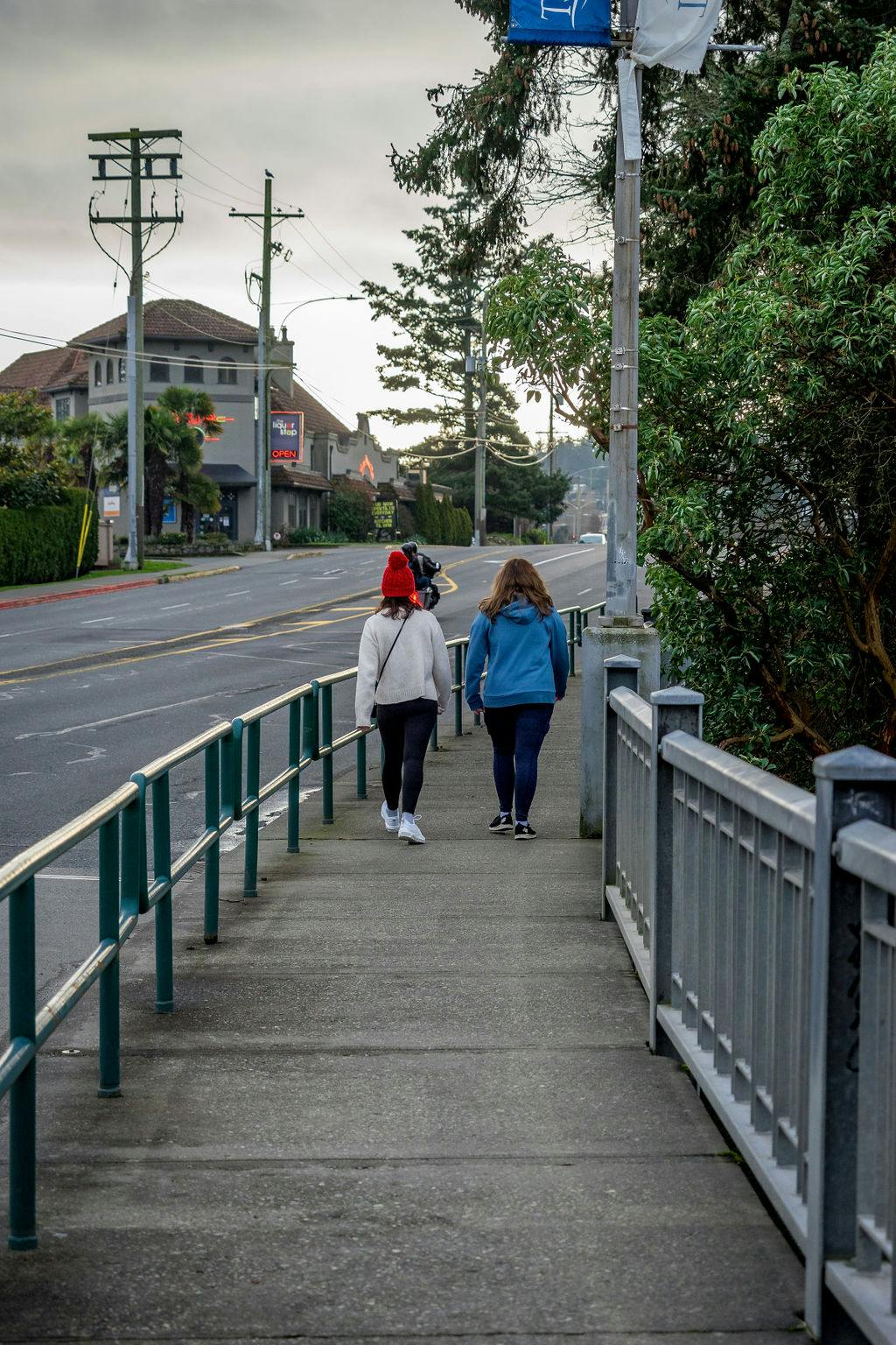
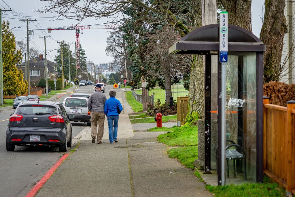
What is Active Transportation?
Active transportation, as defined in the BC Active Transportation Design Guide, includes any form of human-powered transportation, including walking, cycling, or rolling using a skateboard, in-line skates, wheelchair or other wheel-based forms of human-powered transportation.

Document Library
-
 Plan Summary Report- August 2021 (3.11 MB) (pdf)
-
Esquimalt Active Transportation Network Plan_What We Heard Report_FINAL.pdf (4.96 MB) (pdf)
-
Esquimalt Active Transportation Network Plan Baseline Conditions Report (7.19 MB) (pdf)
-
Esquimalt Active Transportation Network Plan_Baseline Conditions Report Executive Summary (12.3 MB) (pdf)
-
Tillicum Road High Level Memo_14Jan2020 - Signal Warrant and Cross Section Review.pdf (919 KB) (pdf)

Our active transportation network today
Who's Listening
-
Township of Esquimalt
Email engaging@esquimalt.ca