Skip To

  • Skip to content
  • Jump to navigation
  • Search

Page Outlines

Loading...

    IE10 and below are not supported.

    Google Chrome Mozilla Firefox

    Contact us for any help on browser support

    The Township of Esquimalt wants to make active transportation easier and more attractive to residents and visitors.

    You are here:

  • Home
  • Esquimalt’s Active Transportation Network Plan: Phase II
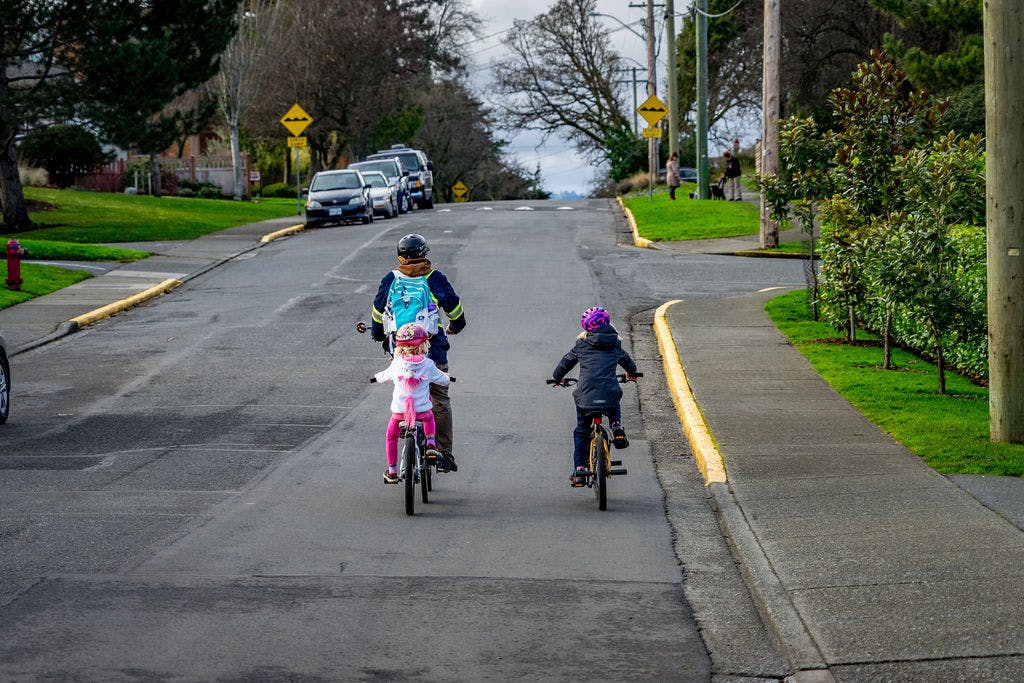
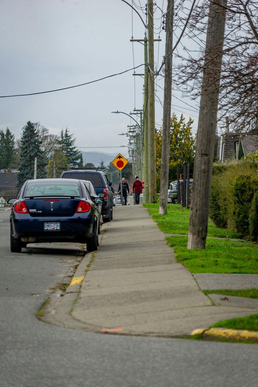
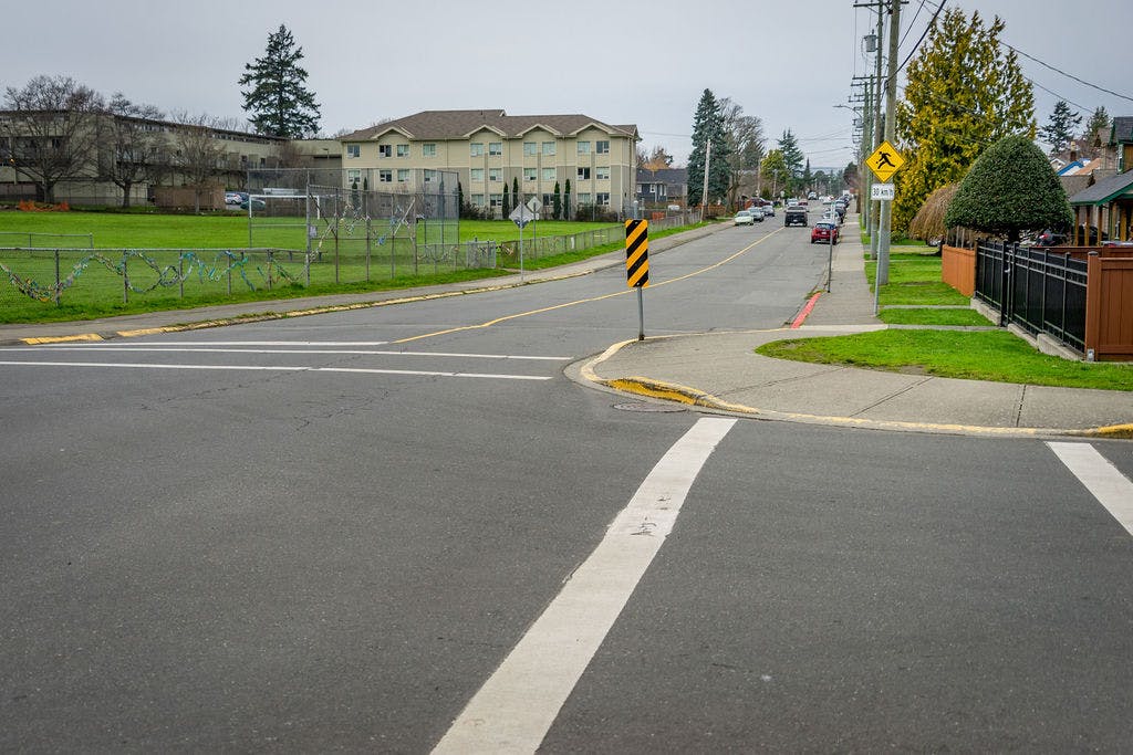
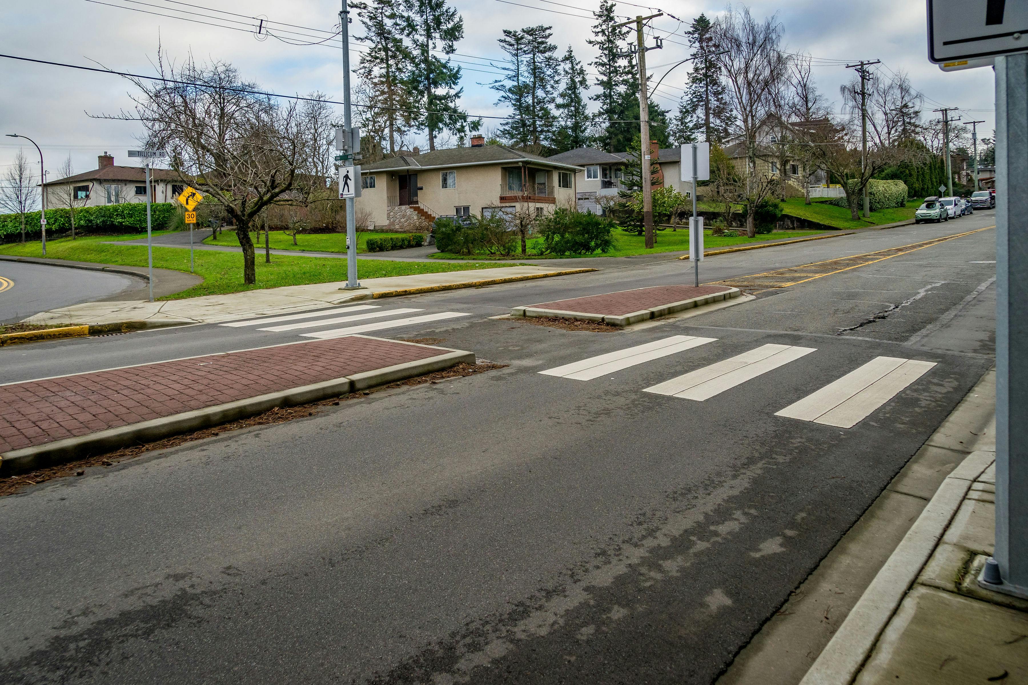
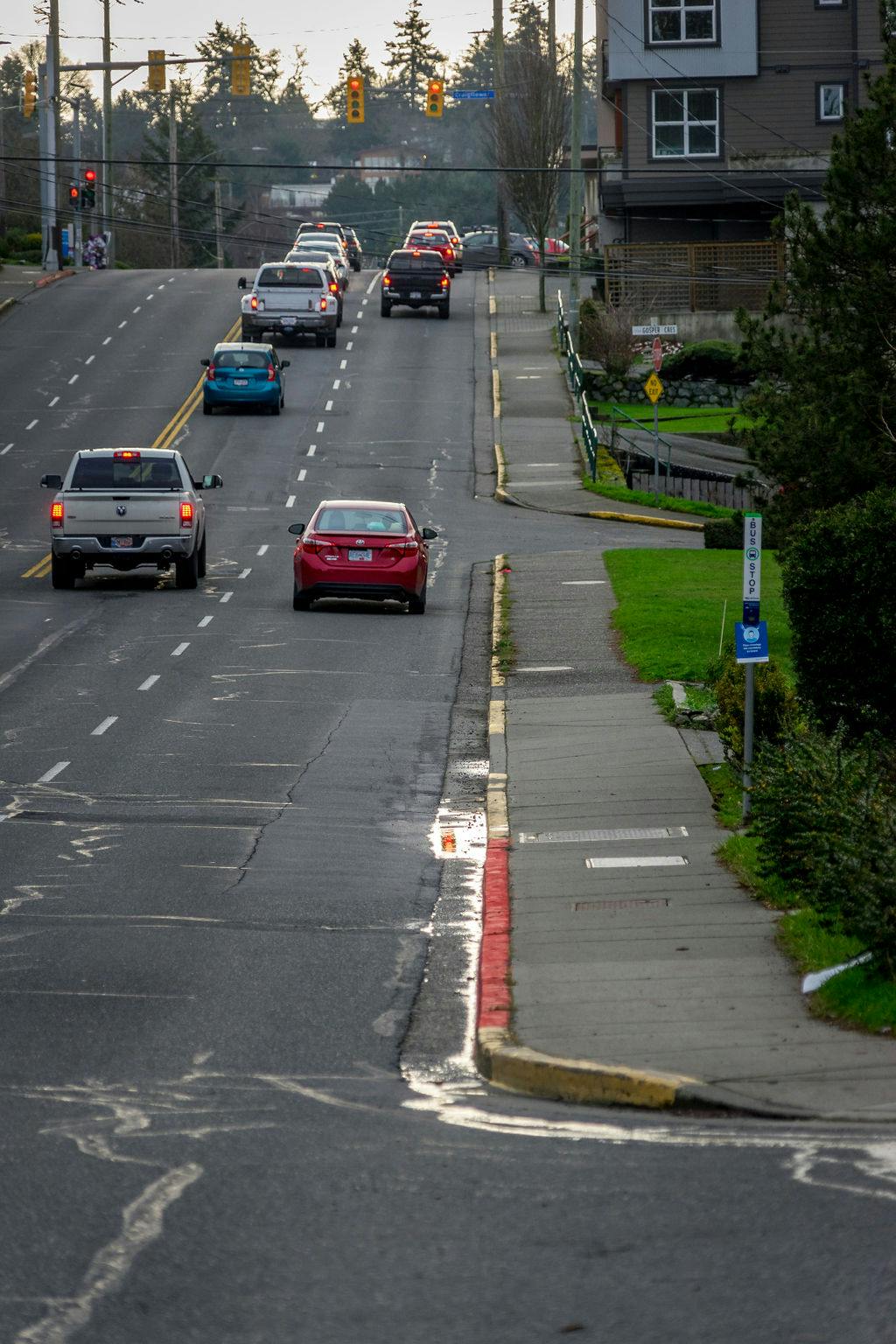
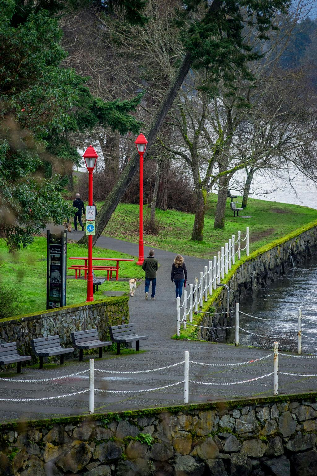
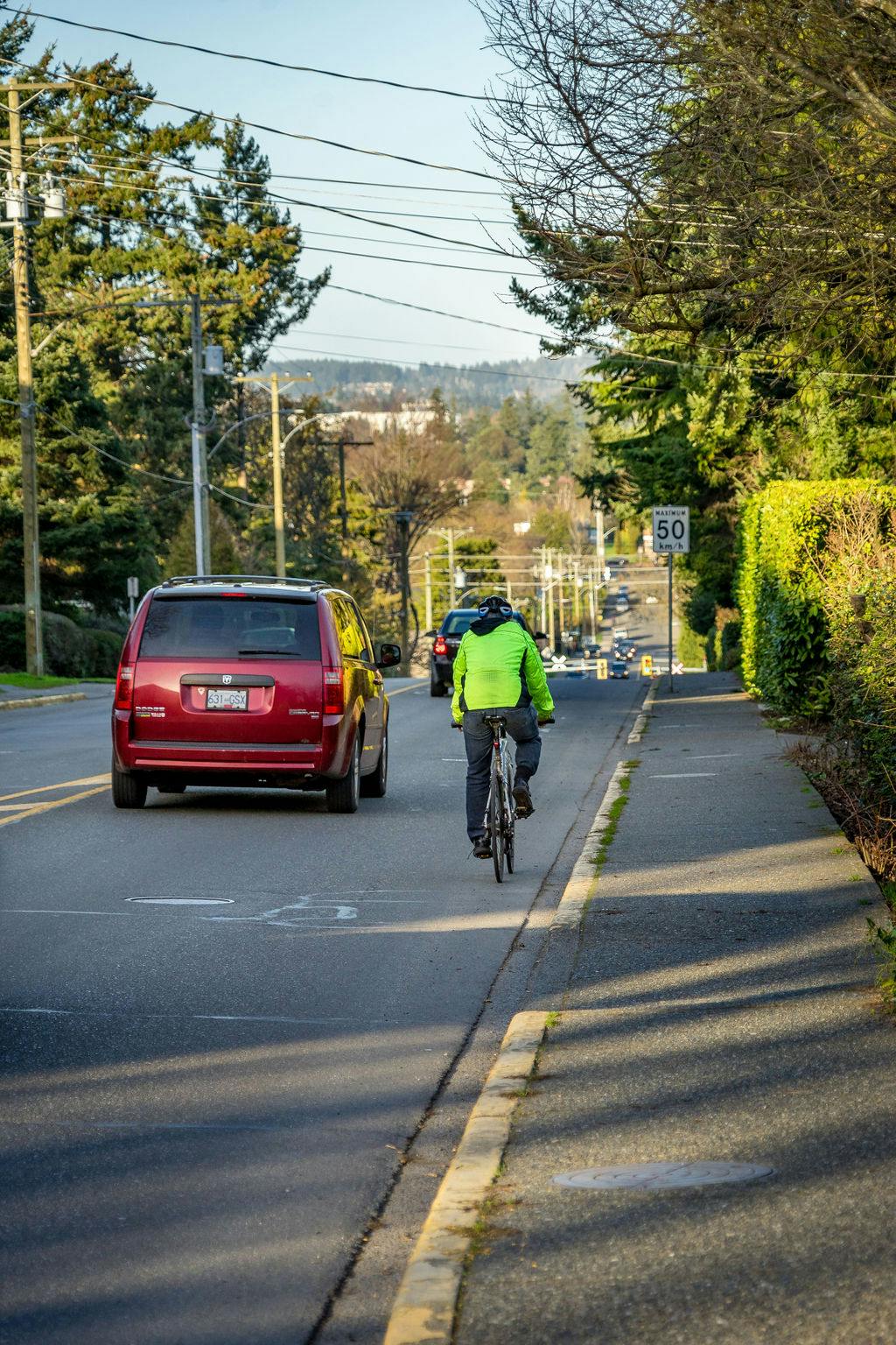
  • Our active transportation network today

    LyallSt-37.jpg

    LyallSt-37.jpg

    previous next
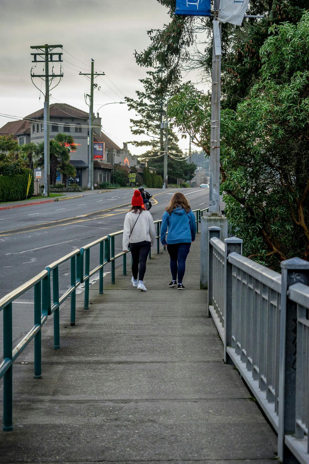
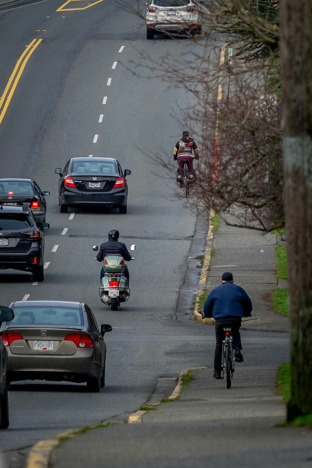
    Pedestrians on 1000 block of Lyall Street looking east to Macaulay Street.
    EsquimaltRd(LampsontoAdmirals)-105.jpg
    LampsonSt(OldEsquimalttoEsquimaltRd)-18.jpg
    SelkirkRd(TillicumtoArm)-64.jpg
    Tillicum(Craigflowertothebridge)-30.jpg
    LyallSt-37.jpg
    LyallSt-3.jpg
    LyallSt-14.jpg
    TillicumRd(CraigflowertoColville)-19.jpg
    Tillicum(Craigflowertothebridge)-15.jpg
    Tillicum(Craigflowertothebridge)-28.jpg
    Tillicum(Craigflowertothebridge)-61.jpg
    LampsonSt(OldEsquimalttoCraigflower)-15.jpg
    AdmiralsRd(NadenWaytoStancombe)-37.jpg
    AdmiralsRd(NadenWaytoStancombe)-10.jpg
    FraserSt(BewdleytoEsquimalt)-159.jpg
    LampsonSt(OldEsquimalttoEsquimaltRd)-33.jpg
    EsquimaltRd(LampsontoAdmirals)-11.jpg